About Me

Qiusheng Wu, PhD
(中文名:吴秋生)
Associate Professor
University of Tennessee
Curriculum Vitae
Faculty page @ UTK
Faculty page @ UTK Geography
Pronunciation:
Chyoo-sheng Woo
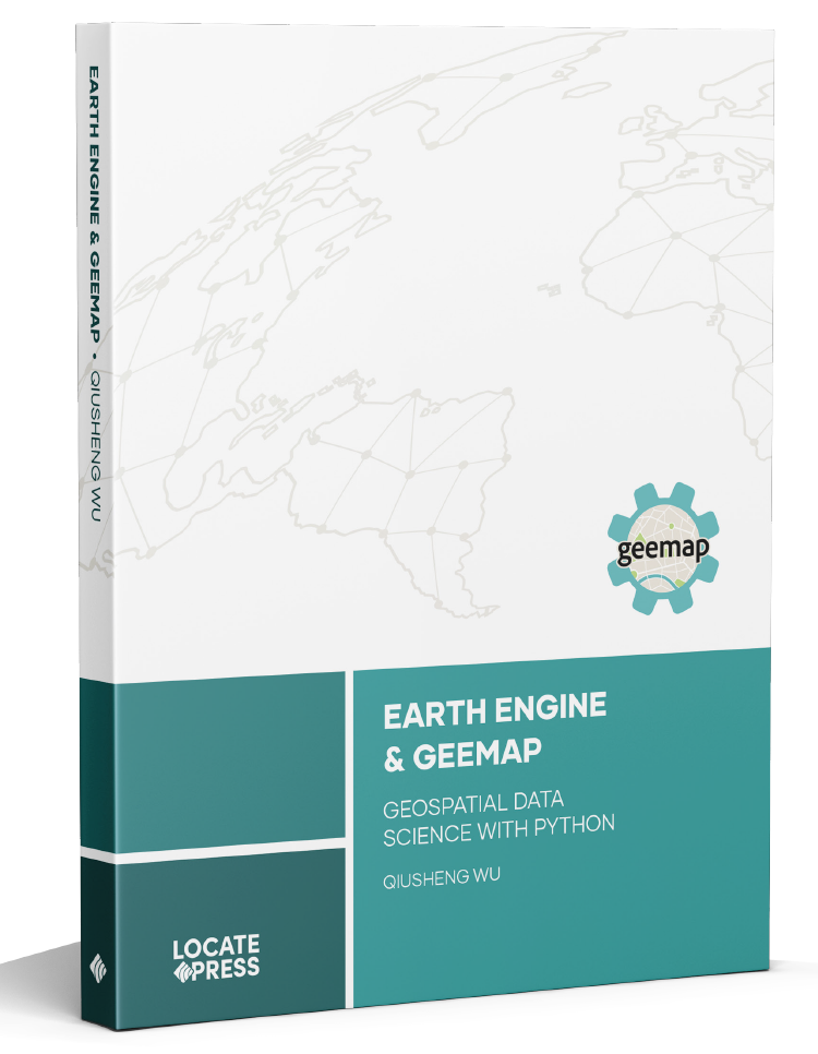 Publisher
|
Amazon
|
Source Code
Publisher
|
Amazon
|
Source Code
Dr. Qiusheng Wu is an Associate Professor in the Department of Geography & Sustainability at the University of Tennessee, Knoxville. In addition, he holds positions as an Amazon Visiting Academic and a Senior Research Fellow at the United Nations University. Specializing in geospatial data science and open-source software development, Dr. Wu is particularly focused on leveraging big geospatial data and cloud computing to study environmental changes, with an emphasis on surface water and wetland inundation dynamics. He is the creator of several open-source packages designed for advanced geospatial analysis and visualization, including geemap, leafmap, and segment-geospatial. For a closer look at his open-source contributions, please visit his GitHub repositories at https://github.com/opengeos.
Academic Profiles:
Google Scholar
|
ResearchGate
|
ORCID
|
Publons
|
GitHub
|
Medium
|
Figshare
|
Blog
|
YouTube
Appointments:
• 2024–now Director of Graduate Studies, Department of
Geography & Sustainability, UTK
• 2023–now Associate Professor, Department of Geography &
Sustainability, UTK
• 2023–now Senior Research Fellow, United Nations
University (UNU-INWEH)
• 2022–now Amazon Visiting Academic
• 2022–now Director of
TennesseeView, a
Tennessee Remote Sensing Consortium
• 2021–2024 Associate Graduate Director, Department of
Geography, University of Tennessee
• 2019–2023 Assistant Professor, Department of Geography &
Sustainability, UTK
• 2018–2019 Graduate Director, Department of Geography,
Binghamton University (SUNY)
• 2015–2019 Assistant Professor, Department of Geography,
Binghamton University (SUNY)
• 2014–2015 Remote Sensing Specialist, U.S. Environmental
Protection Agency (EPA)
Editorships:
• 2023–now Associate Editor,
International Journal of Applied Earth Observation and
Geoinformation
• 2016–now Associate Editor,
Wetlands
Open-source Packages/Apps for Geospatial Analysis:
• R Packages:
whiteboxR
• Python Packages:
geemap
|
leafmap
|
geospatial
|
lidar
|
whitebox
|
pygis
|
streamlit-geospatial
• Google Earth Engine:
Wetland Inundation Mapping
|
Earth Engine Apps
|
QGIS EE Examples
• ArcGIS Toolboxes:
Depression Identification Analyst
|
Wetland Hydrology Analyst
|
Drumlin Extraction Toolbox
|
Level-Set Toolbox
|
WhiteboxTools-ArcGIS
Check out Dr. Wu's
YouTube Channel
for video tutorials on cloud computing and open geospatial: